SURVEYING AND
GIS MAPPING
Reliable, Accurate Aerial hotogrammetry
UAVOS aircraft systems offer the ability to capture an entire renovation project in a single flight. Our post flight services process the imagery to stitch the imagery together to create an orthomosaic (a single image). Data received through a single flight can be used to manage future project development or shared with other surveyors and city planners.
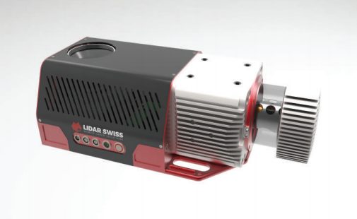
UAVOS uses a number of different methods to gather information, including 3D measurement tools, sensing tools such as sniffer and infrared, and conventional aerial photography. Each of these traditional survey tools utilized alone are powerful analytic tools. UAVOS however can mix and match the payloads to create a more accurate and meaningful survey of the project with a resolution accuracy of 10cm.
Product/Deliverable Formats Available:
- Aerial Surveying
- GIS-Ready Products
- Photogrammetry
- Point Clouds
- Terrain Models
- 3D Models
- Volumetric & Distance Measurements
- Orthomosaic Imagery
- Vertical, nadir, oblique imagery
- Stockpile Calculations
- Construction Management
- Bank erosion areas for FEMA required surveys
- Digital Surface & Terrain Model
Our Systems

Payload Options
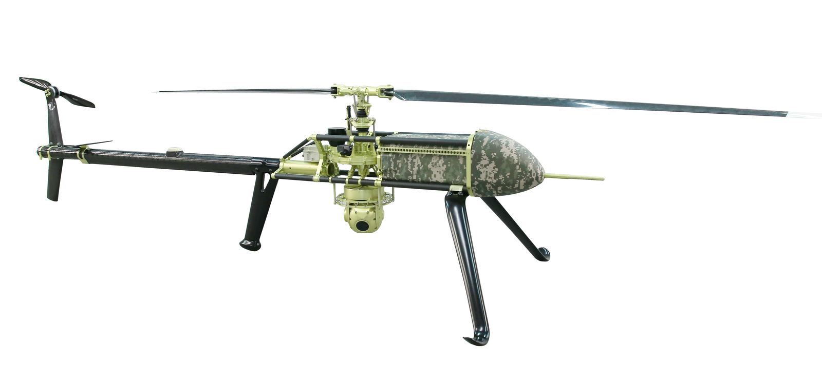
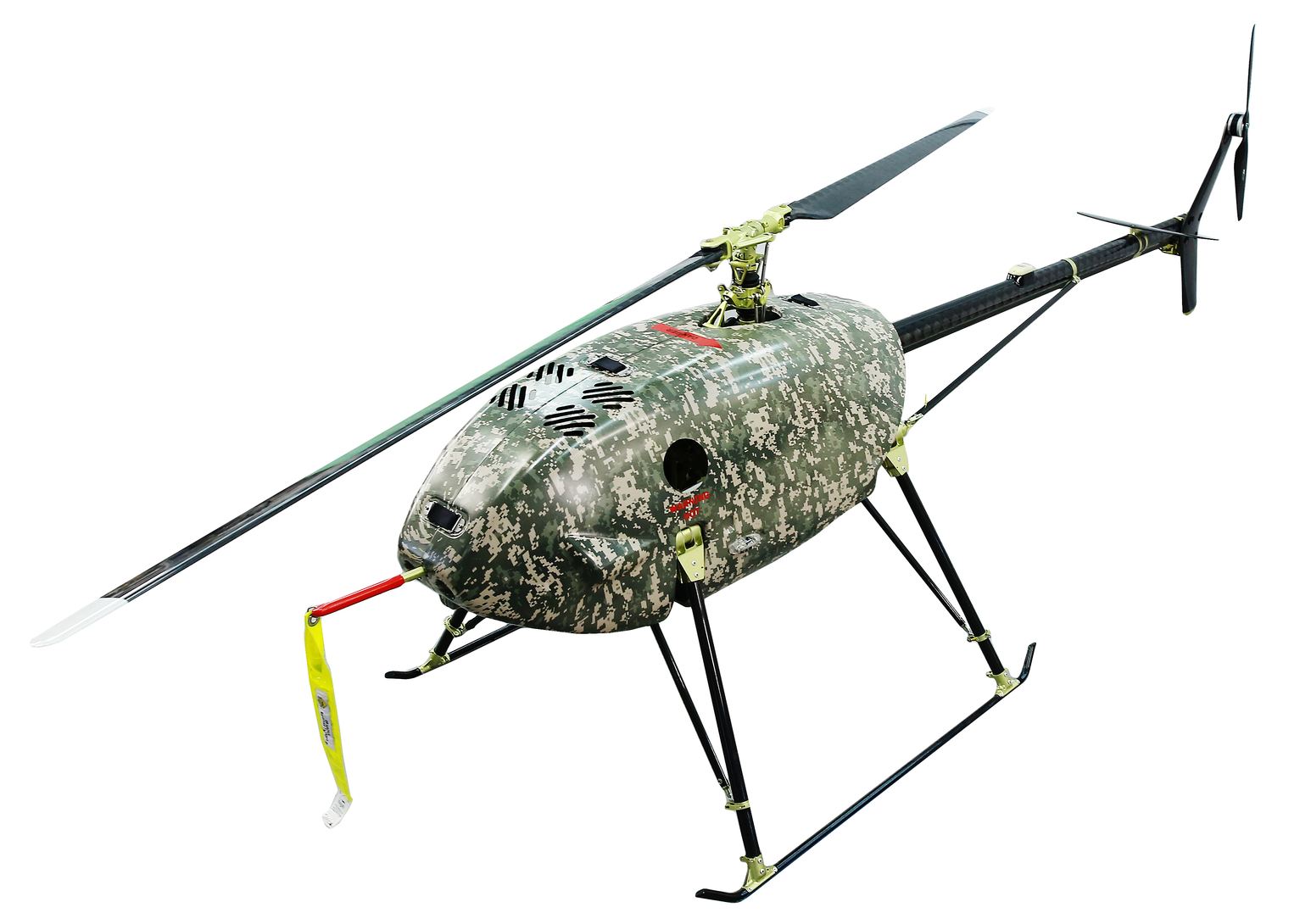
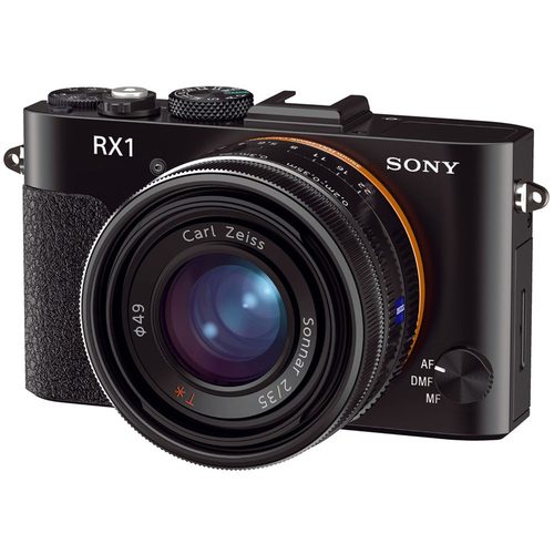
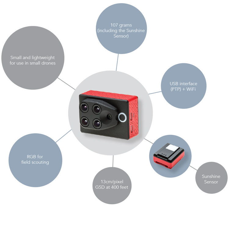
UAVOS offers custom-made payloads that include thermal cameras, daylight cameras, 4K video cameras, search lights, onboard processing unit or any combination thereof. We specialize in implementing the best solution for your specific needs. Whether your field is search and rescue, environmental clean-up, inspections, forestry service or mining, we work with you to build the perfect platform.
